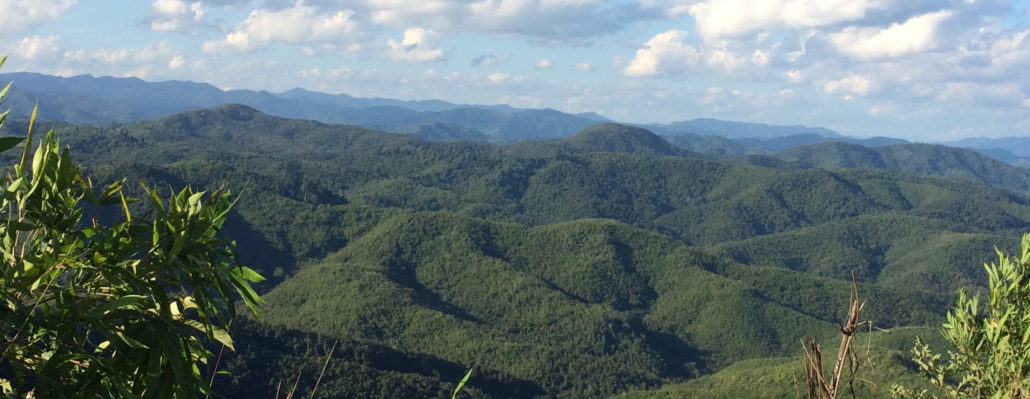
Established in 1993, the mountainous Nam Ha NPA stretches from the Chinese border through the middle of Namtha province, covering over 222.400 hectares and about 24% of the province. In 2003 the Nam Ha National Protected Area (NPA) was designated as an ASEAN Heritage Site. Nam Ha is contiguous with the 44,000 hectare Shiang Yong Protected Area in Yunnan, China. It is populated with ethnic minority groups and well known for a range of ecotourism activities.
Terrain
Most of the area of the Nam Ha NBCA is covered by mixed deciduous forest. A range of mountains runs from “Phou 2094” to the China/Lao border. The top of this range is mainly dry evergreen forest and some grassland. Three large rivers drain southward to the Mekong: the Nam Tha, Nam Fa, and Nam Long.
Access
The Nam HA NBCA is easily accessed from Luang Namtha Town, Muang Sing and Vieng Phoukha.
Biodiversity Values
Tizard, et. al. (1997) identified the Southern Highlands zone, the Nam Kuaylong river valley and the spine of the Northern Highlands to contain relatively undisturbed evergreen forest and grasslands. Mammals of significance are clouded leopard, leopard, and tiger. There is a small population of gaur, Asian elephant, and a possibly unique muntjac species. The bird fauna is diverse, although contains only a few species of global significance. The area is thought to be botanically unique and diverse, although no thorough surveys have been conducted. There are a wide variety of non-timber forest products, especially Aquilaria sp. which can still be found in the area.
Ethnic Diversity
The Nam Ha NBCA includes a variety of ethnic groups including Lao Leu, Thai Dam, Lao Thueng, Ikor, Lao Hoi, Kui, Hmong and Etong. In Nam Ha East the Lao Thueng live along the main road, the Lao Hoi live along the rivers, and there is one Hmong village (Ban Nam Vang). Some Lao Lum (sub-ethnic Leu) live along the Namtha river. In Nam Ha West, there are mostly Ikor (ethnic group: Lao Sung) in the highland areas. In Finho and Nam Bo, there are Lao Hmong, Etong sub-ethnic group in Etong village, and Lao Lum (Leu) in Tinthat village. The Nam Kong area is dominated by Ikor, except for Lao Lum (Thai dam) in Nam Kong village, Kui in Kui Soung village and Hmong in Suen Ya village. Other villages are Lao Lum.
Climate
The rainy season runs from May to September. Average annual rainfall is 1,256 cm, and the maximum rainfall about 1,990. During the colder months of the dry season, from December to February, temperatures can reach as low as 5°c. In the mornings, heavy fog is common, usually clearing and becoming warm and sunny by mid-day The average annual temperature 23.75°c.
Main Forest Types
The majority of the NBCA is mixed secondary deciduous forest and includes secondary evergreen forest particularly semi-evergreen forest and moist evergreen forest (Bermuller, et al. 1995, Tizard et al. WCS 1997). Tizard, et. al. identified four vegetation zones in the NBCA. They are the Luang Namtha plain from 540-1000 m with a “mosaic of human-modified habitats” made up of bamboo, secondary evergreen forest and scrub. The Northern Highlands zone ranges from 1000-2094 m with patches of primary evergreen forest mixed with secondary forest and large patches of Imperata grass. The Southern Highlands range from 1000-1572 m with both evergreen forest and scrub. The Nam Kong area along the China border ranges from 600-1556 m. It is characterised by secondary evergreen forest and scrub.
Information above from www.ecotourismlaos.com


 Users Today : 70
 This Month : 964
 This Year : 39597
 Total Users : 85325
 Views Today : 183
 Who's Online : 2